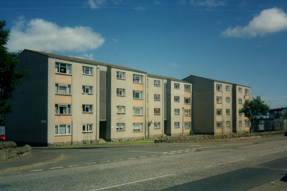
Granton area – pre-1900
Introduction
The name Granton has been in use for many centuries, apparently since at least 1478. Once source gives the origin as ‘grand tún’, from Anglian, meaning a farm place of or at the gravel or sand. There was previously a Granton Castle, also known as Royston, near Granton Craigs, mentioned in the sixteenth century as a landing place.
Map
Granton Road
This was a new road, built in the 1830s to give improved access to Granton Harbour. It was laid out by Robert Stevenson, a well-known engineer at the time, who is best remembered for designing lighthouses. There is a plan of the proposed road, dated 1836, on the NLS maps website![]() .
.
The road was located a few yards east of the boundary of Leith as established a few years earlier. The road was reportedly completed about 1848.
Granton Road contains a few noteworthy buildings:
- 2 Granton Road, at the Junction with Ferry Road, dates from about 1835
- 174, ‘Grantons’, dates from 1855 and may have been designed by David Bryce
The road crosses the former Caledonian Railway, now a walkway, where Granton Road Station was located. This was a tram terminus for services 23 and 27.
The section of Granton Road containing stone-built tenements, and in modern times Scotmid and the New Happy Palace, was known as Bayton Terrace and is visible at the right hand side of this section of the 1896 map,
Granton Square
The square was laid out as part of the development connected with Granton Harbour, and dates from the late 1830s. On the east side is the former Granton Hotel, now HMS Claverhouse, and on the west are buildings that formerly contained the harbour offices. Both are built using stone from Granton Quarry, which also was the source of stone for the construction of the harbour.
Lower Granton Road
This forms part of a long-standing route from Newhaven to Cramond (now part of the A901), and is thought to have been named or re-named Lower Granton Road when Granton Road, mentioned above, was constructed. Properties on this road were previously known by other names – Victoria Place at the east end, and East Cottages at the west end.
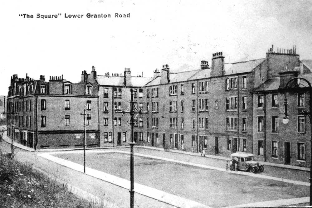
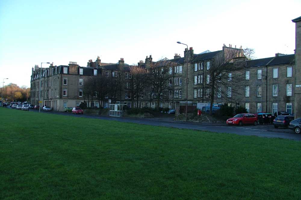
The square near the east end of Lower Granton Road was previously known as Victoria Place (a name that can still be seen carved into one of the buildings), and is sometimes referred to as Victoria Square although that does not seem ever to have been its formal name.
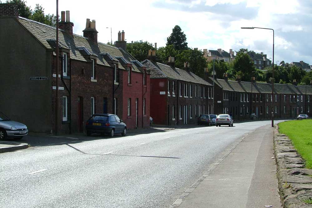
The red brick two storey houses towards the west (Granton Square) end were previously known as the East Cottages.
Just west of Wardie Steps was the Wardie Hotel, now converted to flats. The building dates from 1881 and has been described as ‘elaborately Jacobean’. It was extended in the 1930s.
West Granton Road
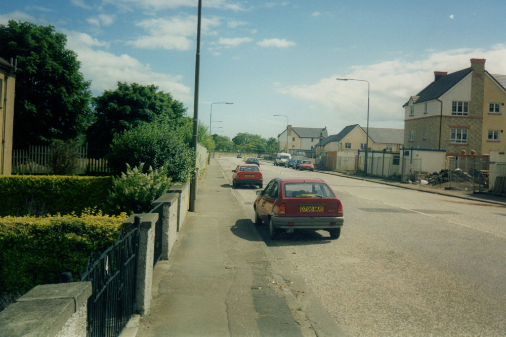
This road seems to have been in existence by the 1680s, and can be clearly seen on the 1896 OS map, although not named. At that time it passed largely through open countryside, giving access to a few cottages and farms and to Granton Water Works (approximately on the present site of a row of shops including Javits). The water works had been built in conjunction with the harbour, to supply it and the adjacent houses. The route that the present West Granton Road follows is a long-standing one and it has not been re-aligned.
Other Granton streets
There are another two pages that may be of interest – one for streets added in the 1930s, and another for more recent streets at Granton Mains and Granton Mill.
