1896 map 17
To see more detail, move your cursor over the map, and an enlarged rectangle will appear. Use your mouse wheel or equivalent to change the level of magnification. The map is made up of four parts, which will magnify separately.
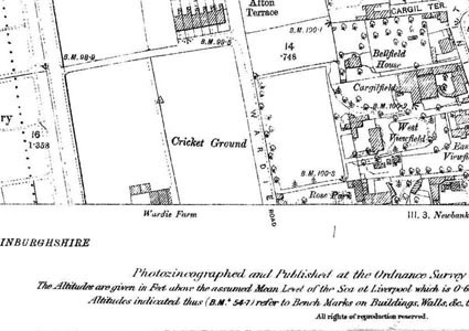
Reproduced from 1896 Ordnance Survey® map (original scale 1:2500, equivalent to 25.344 inches per mile)
I am very grateful to Scott Brown, former proprietor of the Starbank Inn, for lending the original.
Interesting features on this map
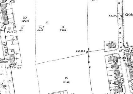
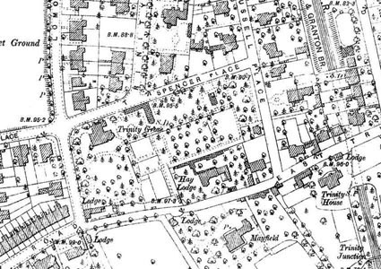
This map shows the Trinity area, where most houses had already been built by the 1890s.
Only towards the west side of this map are there many vacant sites, for example on Stirling Road and behind it, which would be built on within a few years.
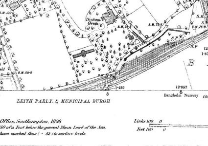
Near the south west corner of the map are railways. Just off this map, the Caledonian Railway line to Leith passes over the North British Railway. The North British Railway is marked as ‘Edinburgh Leith & Granton Br’ (branch), after the name of the company that previously owned it. That line passes through a tunnel under the Trinity area, which is still in existence.
These routes are now footpaths and cycleways – the bridge has been removed and the two lines brought up to meet at a level intersection.