1896 map 16
To see more detail, move your cursor over the map, and an enlarged rectangle will appear. Use your mouse wheel or equivalent to change the level of magnification. The map is made up of four parts, which will magnify separately.
Reproduced from 1896 Ordnance Survey® map (original scale 1:2500, equivalent to 25.344 inches per mile)
I am very grateful to Scott Brown, former proprietor of the Starbank Inn, for lending the original.
Interesting features on this map
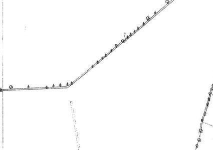
This map shows farmland, with field boundaries and a few trees as the only features
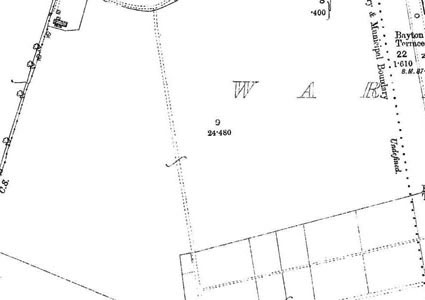
At the top right is a small part of Granton Road, with the boundary of Leith just to the west of it.
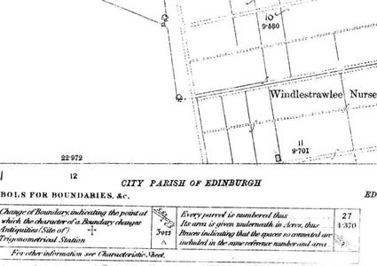
To the west of Granton Road part of Windlestrawlee Nursery is shown. It gave the name West Winnelstrae to a modern street off Ferry Road.
Most of this area is now covered by the Boswall area – Boswall Parkway now runs across the area of this map, near the north of it. Building was carried out mainly in the 1920s and 1930s, some by Edinburgh Corporation (the local authority at the time) and some privately.