1940 map 3 – north east
To see more detail, move your cursor over the map, and an enlarged rectangle will appear. Use your mouse wheel or equivalent to change the level of magnification.
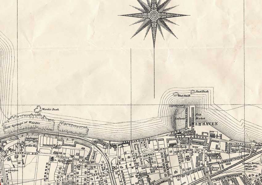
Map: Bartholomew’s Plan of Edinburgh and Leith, 1940-1941, courtesy of mapseeker.co.uk