1896 map 4
To see more detail, move your cursor over the map, and an enlarged rectangle will appear. Use your mouse wheel or equivalent to change the level of magnification. The map is made up of four parts, which will magnify separately.
Reproduced from 1896 Ordnance Survey® map (original scale 1:2500, equivalent to 25.344 inches per mile)
I am very grateful to Scott Brown, former proprietor of the Starbank Inn, for lending the original.
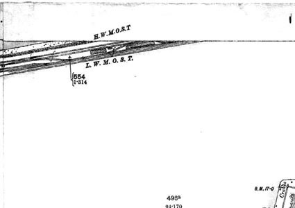
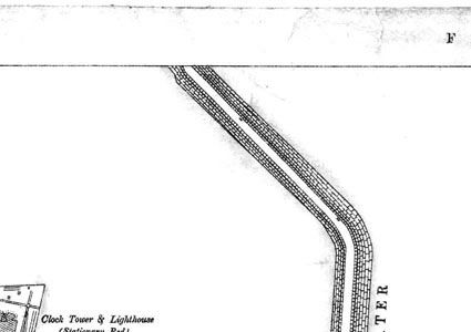
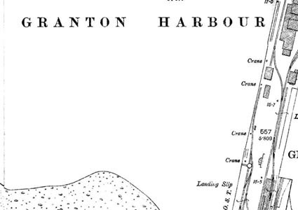
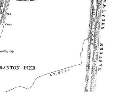
This map shows most of Granton Harbour, including part of the Western Breakwater at the top left, and the Eastern Breakwater at the right.
In the centre of the map is the Middle Pier. It has railway lines on it, used by trains taking cargoes to and from the vessels moored in the harbour. A number of cranes are shown, for use in loading and unloading the boats and ships.
Abbreviations – HWMOST means High Water Mark Ordinary Spring Tide, and LWMOST means Low Water Mark Ordinary Spring Tide.