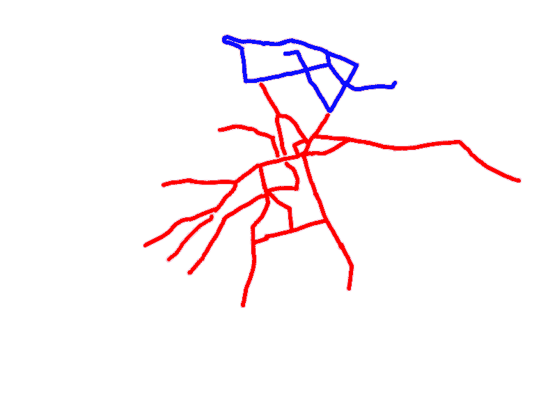
Edinburgh tram routes 1920
There are two ways to use this map:
1. Put your cursor over a route number to see a map of that route – or
2. Put your cursor over a point on a route to see the routes at that location. Routes that terminated there are shown bold, and other routes that served the location in normal font.
Date
These maps show tram routes as at 1 January 1920. This was just before the Edinburgh and Leith systems were combined.
Only some routes in Edinburgh had numbers, and none of the Leith routes had numbers. The numbered Edinburgh routes are shown with their numbers. Un-numbered routes in Edinburgh and all Leith routes have been referred to here by letters but these were invented for use on this web page only for easy reference, and were not part of an official system!
Base map: Ordnance Survey® One-Inch Map Sheet 74 (War Revision 1940)
If you find any mistakes, please contact me .