1896 map 8
To see more detail, move your cursor over the map, and an enlarged rectangle will appear. Use your mouse wheel or equivalent to change the level of magnification. The map is made up of four parts, which will magnify separately.
Reproduced from 1896 Ordnance Survey® map (original scale 1:2500, equivalent to 25.344 inches per mile)
I am very grateful to Scott Brown, former proprietor of the Starbank Inn, for lending the original.
Interesting features on this map
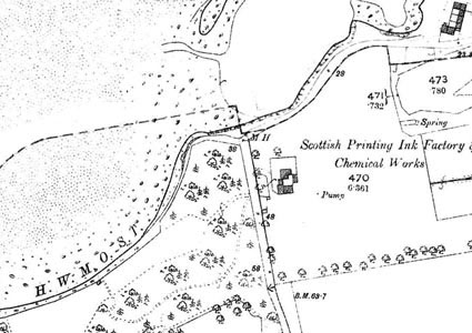
In this area is the Scottish Printing Ink Factory & Chemical Works. The works were owned for many years by A B Fleming, and later became part of the Croda group, latterly operating from Maybury, Edinburgh.
The area immediately south of these works was soon to be used for construction of the Granton Gas Works by Edinburgh and Leith Corporations Gas Commissioners. Construction started in 1898 and the official opening was in 1902.
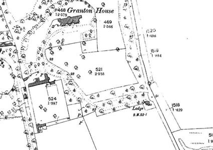
Granton House, immediately to the west and near ther left edge of this map, became the official residence of the Gas Works Engineer and Manager.
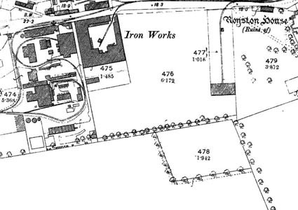
Also shown at the north east of this map is Granton Iron Works.